
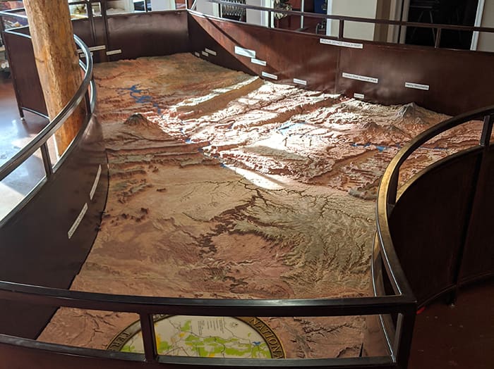
During the construction of Glen Canyon Dam, The U.S. Bureau of Reclamation commissioned a scale model relief map of what would be Lake Powell and the surrounding area. Completed in 1967, this terrain relief model of the Glen Canyon National Recreation Area and surrounding area shows the topography as it actually exists. Our onsite staff are happy to give you a map “tour” and help point out some of our favorite areas.
Outdoor Wayside Exhibit
Through grant funding from the American Rescue Fund and Arizona Humanities, the Powell Museum is proud to present our outdoor...
Read More